
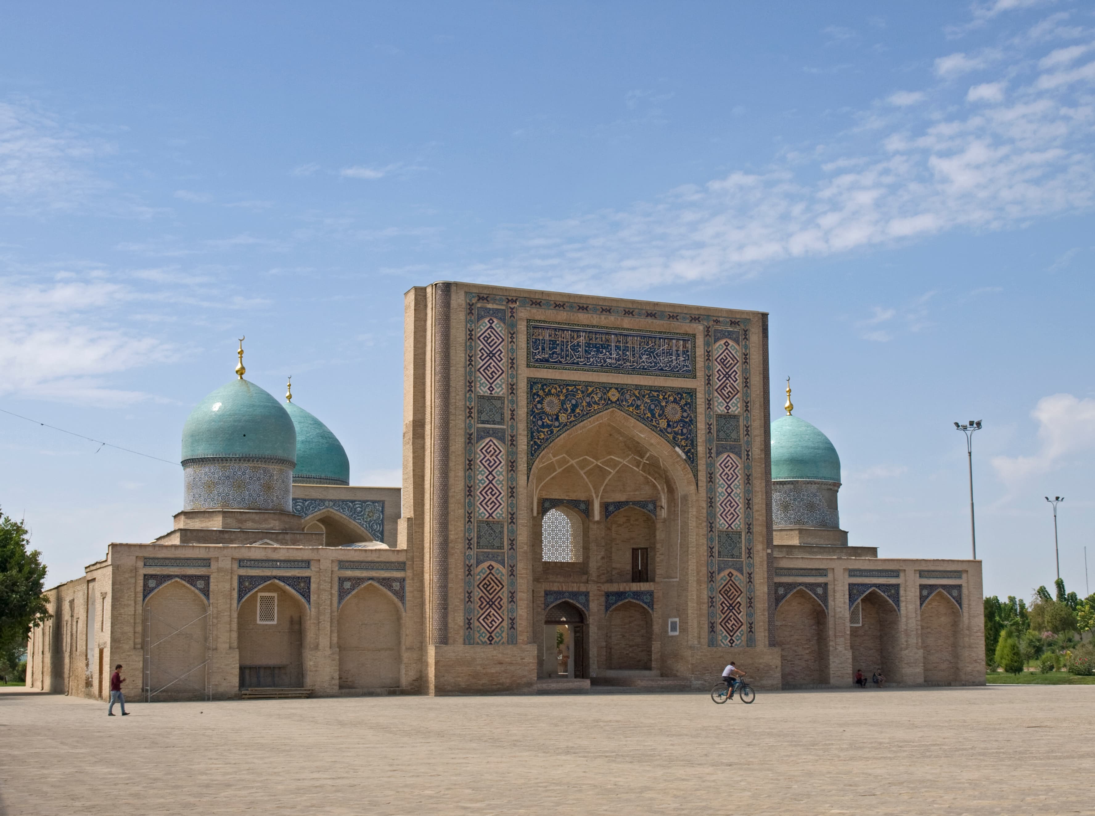
Overview
What to expect
A practical full-day city circuit linking Hazrati Imam, the Chorsu quarter, Kukeldash, the applied-arts museum and the Amir Timur side of central Tashkent. It works best as a self-drive or taxi-assisted heritage day with walking inside each stop.
19 km on the current public line.
Elevation gain 196 m, high point 465 m.
Route map
Track line and route waypoints
Travel map
Routes and useful places
Use search, trust status and layer toggles to plan the next stop.
visible in current filters
Live camera streams open directly inside the popup when the source exposes an embeddable player or stream. Kyrgyz cameras and temperature data are shown via kg.camera with rights holder attribution. Extra Uzbekistan, Kazakhstan and Kyrgyz camera points from youwebcams.org are deduped against mirrored kg.camera entries. kg.camera / youwebcams.org
Nearby results
Nearby results
Run a nearby search from your live position or the current map center.
Waypoints
Useful points shown on the route
- 01Hazrati Imam Complex41.337455, 69.241530
- 02Chorsu Bazaar41.327532, 69.234006
- 03Kukeldash Madrasah41.323158, 69.236663
- 04Museum of Applied Arts41.301258, 69.259195
- 05Amir Timur Square41.310090, 69.279530
Access
Trailhead and approach planning
Loop. Access is straightforward and most complexity is inside the stop order, not the road itself.
Useful as a planning lead, not as a final guarantee. Treat on-site checks as mandatory.
Safety
Before you commit to the day
Easy. Keep normal field checks for weather, closures and local access limits.
Family and group use
How demanding the day may feel
This route is easier to scale for mixed-age travellers if you control heat, pacing and walking time at each stop.
Vehicle planning
What matters for self-drive travellers
Vehicle value here is urban positioning between stops; most site time happens on foot.
Water and supplies
Carry enough and top up early
Useful as a planning lead, not as a final guarantee. Treat on-site checks as mandatory.
Season and timing
When this route feels cleaner
March to May, September to November
What to bring
Useful kit for this line
Prioritise shade, water, offline map and comfortable walking pace rather than expedition gear.
GPX use
How to use the track responsibly
Current GPX package exposes 2265 geometry points and 5 named waypoints in the public layer.
Unknowns
What still needs field confirmation
Useful as a planning lead, not as a final guarantee. Treat on-site checks as mandatory.
Nearby
Useful stops around the route
Browser location is requested only after you click the location button.