 VanLife.uz
Weather at the route start
Loading weather
Overview
What to expect
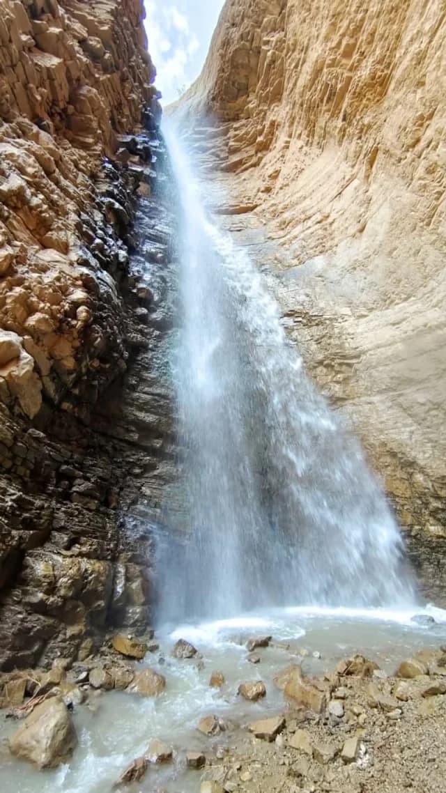
The route combines a valley walk with the Paltau waterfall and an Obi-Rakhmat waypoint recorded by the source. It returns almost to its starting coordinate, making it useful as a day-hike reference rather than a through-route between villages. The selected photograph shows the waterfall, not the archaeological shelter.
The original GPX is dated 2 March 2025. It contains 607 points in one segment, measures about 10.04 km horizontally and has no consecutive-point gap larger than 29 m. The partner suggests 4–5 hours; allow additional time for conditions and stops. A dated recording is not a current report on entry arrangements or trail maintenance.
Treat caves, mine openings and the archaeological locality as different features. A waypoint does not authorize entry into a fenced research area or an underground passage. Stay outside barriers, do not disturb deposits and do not assume a dark opening shown in a trip album is Obi-Rakhmat. Check the permitted approach before travelling, carry an offline map and avoid unsafe water crossings. Community lead: https://t.me/aydar_yurt/3241 .
Route map
Track line and route waypoints
Travel map
Routes and useful places
Use search, trust status and layer toggles to plan the next stop.
visible in current filters
Camera sources: kg.camera (ElCat LLC) and youwebcams.org. Broadcasts and weather readings depend on the provider. kg.camera / youwebcams.org
Nearby results
Nearby results
Run a nearby search from your live position or the current map center.
Waypoints
Useful points shown on the route
- 01Track point 141.560515, 70.116239
- 02Track point 60741.560506, 70.116212
Access
Trailhead and approach planning
Hiking route. Useful as a planning lead, not as a final guarantee. Treat on-site checks as mandatory.
Safety
Before you commit to the day
Pending field review. Keep normal field checks for weather, closures and local access limits.
Season and timing
Best time to visit
Check current conditions
What to bring
Useful equipment for this route
Carry offline navigation, weather margin and a kit that matches the surface and elevation profile.
GPX use
How to use the track responsibly
Current GPX package exposes 607 geometry points and 0 named waypoints in the public layer.
Unknowns
What still needs field confirmation
Useful as a planning lead, not as a final guarantee. Treat on-site checks as mandatory.
Nearby
Useful stops around the route
Browser location is requested only after you click the location button.