 VanLife.uz
Weather at the route start
Loading weather
Overview
What to expect
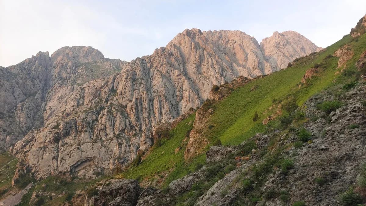
Obi-Qashqa, also known as Okhotnichiy Peak, is a mountain destination in the Tashkent Region. The source album shows rock walls, grassy slopes and snow-filled hollows along the outing. These photographs help describe the terrain, but do not show present snow cover or prove that a particular passage is open. The summit waypoint is at 41.510415, 70.116419.
The original GPS recording dates from 13 July 2024. Its 1,382 points form one continuous segment measuring approximately 22.87 km; the finish is about 14 m from the start near Yangi Qorgon. The track reaches the summit waypoint. Recorded elevations range from about 1,203 to 3,104 m. Summing every upward step gives about 2,805 m of ascent, whereas the source lists 2,349 m: this discrepancy remains unresolved, so neither is presented as a surveyed total. The recording spans about 17.6 hours including stops; this is historical elapsed time, not a recommended walking schedule.
Plan this as a strenuous mountain hike, with time and equipment for the return, rather than a roadside viewpoint. Confirm access and current conditions locally before leaving. The GPX does not establish campsite permission, parking availability, drinking-water safety or vehicle access. The downloadable geographic derivative keeps the original coordinates and elevations but omits precise timestamps and device details. A summit waypoint download and a complete route download are different files.
Obi-Qashqa summit (Okhotnichiy Peak): https://vanlife.uz/en/locations/obi-qashqa-summit
Route map
Track line and route waypoints
Travel map
Routes and useful places
Use search, trust status and layer toggles to plan the next stop.
visible in current filters
Camera sources: kg.camera (ElCat LLC) and youwebcams.org. Broadcasts and weather readings depend on the provider. kg.camera / youwebcams.org
Nearby results
Nearby results
Run a nearby search from your live position or the current map center.
Waypoints
Useful points shown on the route
- 01Track point 141.552047, 70.069613
- 02Track point 138241.552161, 70.069684
Access
Trailhead and approach planning
Hiking route. Useful as a planning lead, not as a final guarantee. Treat on-site checks as mandatory.
Safety
Before you commit to the day
Pending field review. Keep normal field checks for weather, closures and local access limits.
Season and timing
Best time to visit
Check current conditions
What to bring
Useful equipment for this route
Carry offline navigation, weather margin and a kit that matches the surface and elevation profile.
GPX use
How to use the track responsibly
Current GPX package exposes 1382 geometry points and 0 named waypoints in the public layer.
Unknowns
What still needs field confirmation
Useful as a planning lead, not as a final guarantee. Treat on-site checks as mandatory.
Nearby
Useful stops around the route
Browser location is requested only after you click the location button.