 VanLife.uz
Weather at the route start
Loading weather
Overview
What to expect
This short approach is useful when Ayaz-Kala is the next destination rather than one stop on a full fortress circuit. The original line begins near Madaniyat at 41.719702, 60.813133, travels northeast and reaches the Ayaz-Kala area around 42.013965, 61.030370. It contains 3,362 points across roughly 40.75 km. The maximum adjacent gap is about 154 m, and the route has not been reconstructed from a handful of distant pins.
The recording by bibibärlauch is dated 10 June 2024 and classified as off-road. That classification does not establish today's surface, the suitability of a low-clearance car or camper, or permission to drive to the ruins. Check the final approach locally, stop where vehicle access ends and continue only on permitted visitor paths. Do not drive onto archaeological remains or treat a track endpoint as a designated car park. Opening arrangements, charges and overnight facilities are not verified by this record.
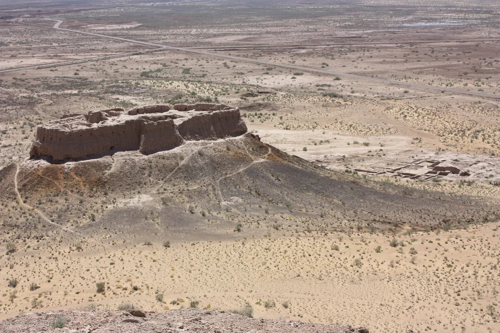
The illustration is a view of the Ayaz-Kala landscape photographed by Arian Zwegers in April 2008. It helps identify the destination's setting, not current road conditions. Allow time for the site separately from the recorded driving distance, and bring the supplies and offline mapping needed for your own itinerary. The downloadable GPX is preserved as supplied, with its original author credit. This is a source-based route review, not a recent inspection of the road.
Route map
Track line and route waypoints
Travel map
Routes and useful places
Use search, trust status and layer toggles to plan the next stop.
visible in current filters
Camera sources: kg.camera (ElCat LLC) and youwebcams.org. Broadcasts and weather readings depend on the provider. kg.camera / youwebcams.org
Nearby results
Nearby results
Run a nearby search from your live position or the current map center.
Waypoints
Useful points shown on the route
- 01Track point 141.719702, 60.813133
- 02Track point 336242.013965, 61.030370
Access
Trailhead and approach planning
Off-road drive. Useful as a planning lead, not as a final guarantee. Treat on-site checks as mandatory.
Safety
Before you commit to the day
Pending field review. Keep normal field checks for weather, closures and local access limits.
Season and timing
Best time to visit
Check current conditions
What to bring
Useful equipment for this route
Carry offline navigation, weather margin and a kit that matches the surface and elevation profile.
GPX use
How to use the track responsibly
Current GPX package exposes 3362 geometry points and 0 named waypoints in the public layer.
Unknowns
What still needs field confirmation
Useful as a planning lead, not as a final guarantee. Treat on-site checks as mandatory.
Nearby
Useful stops around the route
Browser location is requested only after you click the location button.