 VanLife.uz
Weather at the route start
Loading weather
Overview
What to expect
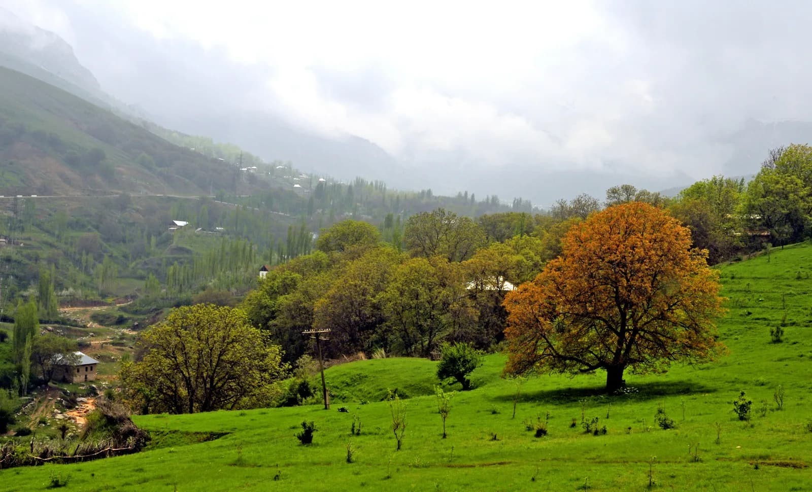
The GPX contains one continuous segment and 4,816 track points. Measured along the recorded coordinates, its length is about 122 km and the largest gap is about 77 m. Stops and local detours belong to the original journey; this is not a shortest-path route. The photograph shows the Chimgan foothills, not a view from every section of the drive.
Route map
Track line and route waypoints
Travel map
Routes and useful places
Use search, trust status and layer toggles to plan the next stop.
visible in current filters
Camera sources: kg.camera (ElCat LLC) and youwebcams.org. Broadcasts and weather readings depend on the provider. kg.camera / youwebcams.org
Nearby results
Nearby results
Run a nearby search from your live position or the current map center.
Waypoints
Useful points shown on the route
- 01Trailhead41.537181, 70.030379
- 02Finish point41.268418, 69.203743
Access
Trailhead and approach planning
The start and finish are recording endpoints, not confirmed public parking spaces. Join or leave the track only where stopping and turning are legal. Review it against a current road map before setting off.
Safety
Before you commit to the day
Mountain bends and changes in weather need attention. Follow signs and temporary restrictions even when the GPX goes another way. Never stop in a bend for a photograph or follow the line onto a closed road.
Family and group use
How demanding the day may feel
Plan breaks at legal stopping places and leave time for city traffic at the end. The GPX gives no reliable family walking programme or supervised recreation stops.
Vehicle planning
What matters for self-drive travellers
Classified as a drive from the source activity and the recorded geometry. Clearance, height limits, surface condition and suitability for large campers have not been surveyed; do not interpret this as a 4x4 or camper certification.
Water and supplies
Carry enough and top up early
Carry drinking water and plan fuel using current opening information. The original waypoints are not treated as verified services.
Season and timing
Best time to visit
Recorded in September, not tested for all seasons. Check mountain weather and road restrictions before travel; snow or ice can change the journey substantially.
What to bring
Useful equipment for this route
Keep an offline road map, the downloaded GPX, a charged phone and charging cable. Set navigation while parked rather than while driving.
GPX use
How to use the track responsibly
The downloadable file preserves the original points, timestamps, elevations and author metadata. Its recording date is 7 September 2024. Successful geometry checks do not prove that the road remains open or that the original driver's choices suit your vehicle.
Unknowns
What still needs field confirmation
Current closures, journey time, tolls and parking permission are unverified. No field inspection by VanLife.uz is claimed.
FAQ
FAQ
Is this a hike to the Chimgan summit?
No. It is a recorded car journey from the Chimgan area to Tashkent. Do not use it as a mountain hiking route.
Nearby
Useful stops around the route
Browser location is requested only after you click the location button.