 VanLife.uz
Weather at the route start
Loading weather
Overview
What to expect
This track starts beside Uzunkol, passes through the Arashan lake basin and reaches a high point before returning close to its start. The partner calls it a loop; the recorded endpoints are roughly 70 m apart, so do not expect an artificially closed line. It is a mountain hike, not a camper-driving itinerary or a short lakeside stroll.
The original download contains one segment, 596 track points and five named waypoints. Its measured horizontal length is about 9.74 km and its largest consecutive-point gap is about 20 m. These are file-quality measurements, not evidence that the trail is currently clear. The source gives a full-day estimate of 10–11 hours, which is not a guaranteed walking time. The recording date is not available in the supplied metadata.
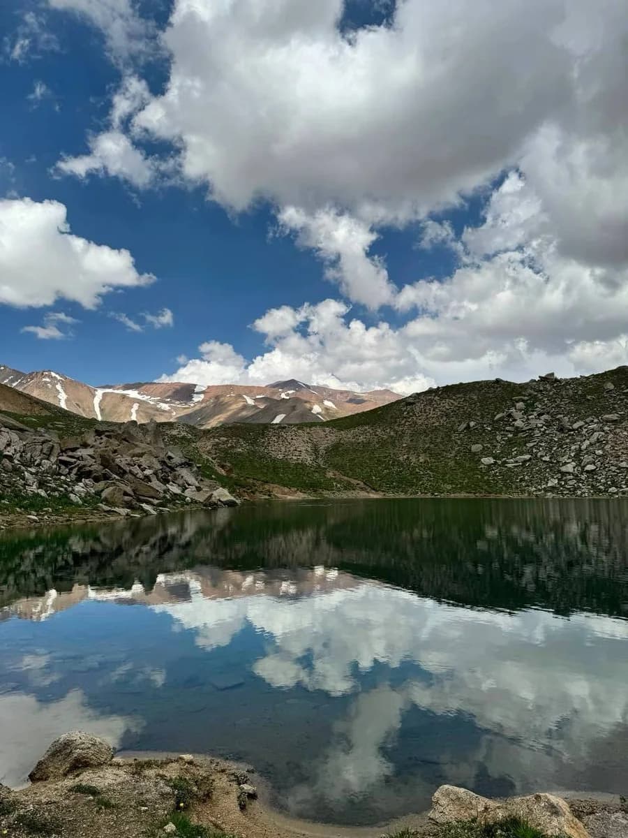
Plan the vehicle approach separately. Take an offline map, weather protection and sufficient supplies, and set a turnaround time with daylight remaining. A GPX line does not assess snow, loose slopes, stream crossings or current access rules. Do not mistake the lower lake visit for the effort of reaching the peak. The lake photograph is from the supplied community album, not a recent inspection of the entire route: https://t.me/aydar_yurt/4422 ; photo https://t.me/aydar_yurt/4428 .
Route map
Track line and route waypoints
Travel map
Routes and useful places
Use search, trust status and layer toggles to plan the next stop.
visible in current filters
Camera sources: kg.camera (ElCat LLC) and youwebcams.org. Broadcasts and weather readings depend on the provider. kg.camera / youwebcams.org
Nearby results
Nearby results
Run a nearby search from your live position or the current map center.
Waypoints
Useful points shown on the route
- 01Track point 141.363035, 70.518232
- 02Track point 59641.362546, 70.518762
Access
Trailhead and approach planning
Hiking route. Useful as a planning lead, not as a final guarantee. Treat on-site checks as mandatory.
Safety
Before you commit to the day
Pending field review. Keep normal field checks for weather, closures and local access limits.
Season and timing
Best time to visit
Check current conditions
What to bring
Useful equipment for this route
Carry offline navigation, weather margin and a kit that matches the surface and elevation profile.
GPX use
How to use the track responsibly
Current GPX package exposes 596 geometry points and 0 named waypoints in the public layer.
Unknowns
What still needs field confirmation
Useful as a planning lead, not as a final guarantee. Treat on-site checks as mandatory.
Nearby
Useful stops around the route
Browser location is requested only after you click the location button.