 VanLife.uz
Weather at the route start
Loading weather
Overview
What to expect
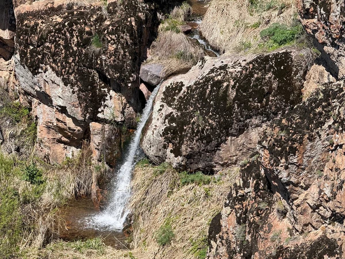
Above Oqtosh, water slips between large rocks into small pools, while wooded sections and open slopes give the approach a varied character. The source photographs show spring vegetation and flowing water, not today’s conditions. The source album also includes a mosaic on the old artists’ house along the outing; the building’s current access and safety have not been established.
The waterfall waypoint is 41.678506, 69.773880, at approximately 1,593 m. The associated walking recording starts lower down at 41.635789, 69.766297 and covers about 5.62 km one way. Returning along the same line would make roughly 11.2 km before detours. Neither the waypoint nor the track establishes vehicle access, parking, camping permission or drinking-water availability.
The GPX was recorded on 12 April 2026 and contains 1,597 points in one segment; the largest point gap is about 21 m. The downloadable geographic copy keeps the recorded coordinates and elevations but removes heart-rate data and exact timestamps. The source’s 2–3 hour estimate is not a promise for an out-and-back trip. Check access and weather locally, carry an offline map and allow daylight for the return; avoid wet ledges and unsafe stream crossings.
Route map
Track line and route waypoints
Travel map
Routes and useful places
Use search, trust status and layer toggles to plan the next stop.
visible in current filters
Camera sources: kg.camera (ElCat LLC) and youwebcams.org. Broadcasts and weather readings depend on the provider. kg.camera / youwebcams.org
Nearby results
Nearby results
Run a nearby search from your live position or the current map center.
Waypoints
Useful points shown on the route
- 01Track point 141.635789, 69.766297
- 02Track point 159741.678356, 69.774092
Access
Trailhead and approach planning
Hiking route. Useful as a planning lead, not as a final guarantee. Treat on-site checks as mandatory.
Safety
Before you commit to the day
Pending field review. Keep normal field checks for weather, closures and local access limits.
Season and timing
Best time to visit
Check current conditions
What to bring
Useful equipment for this route
Carry offline navigation, weather margin and a kit that matches the surface and elevation profile.
GPX use
How to use the track responsibly
Current GPX package exposes 1597 geometry points and 0 named waypoints in the public layer.
Unknowns
What still needs field confirmation
Useful as a planning lead, not as a final guarantee. Treat on-site checks as mandatory.
Nearby
Useful stops around the route
Browser location is requested only after you click the location button.