 VanLife.uz
Air temperature
Loading weather
Overview
What this stop is good for
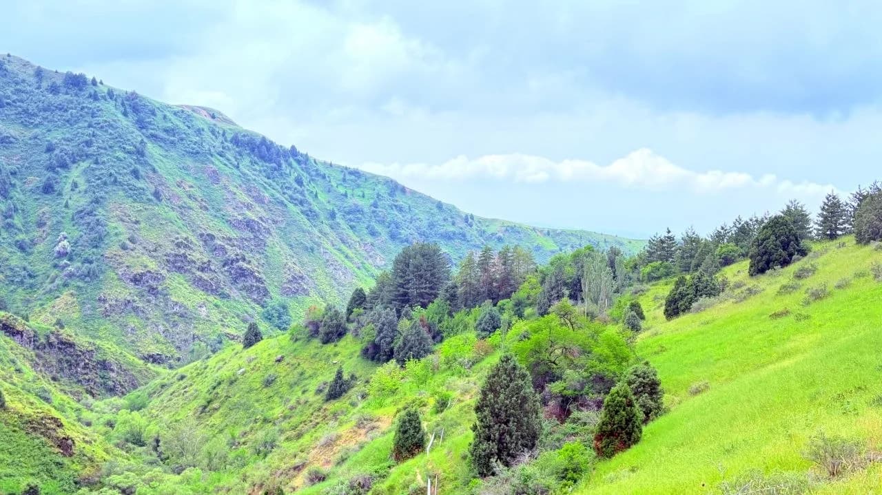
Sukok combines two different experiences: a shaded forest walk and a longer climb onto open slopes. The photograph from a May 2026 outing shows the transition clearly, with dark conifers beside bright grass and exposed rock. The attraction is this change of landscape, not a single constructed viewpoint or a guaranteed short route suitable for every visitor.
The map marker is the start of the supplied Sukok–Begiztash–Shakhkurgan recording, around 41.244708, 69.819940. It is a practical orientation point for the walking approach. It does not establish the forest's legal boundary, opening arrangements or a place where a camper may stay overnight. Confirm entry arrangements locally and do not drive onto walking paths.
For a longer mountain day, examine the existing Sukok–Begiztash–Shakhkurgan route separately. Reaching a ridge or summit requires more time and effort than walking in the lower woodland. Choose a turnaround time, keep enough daylight for the descent and adapt the plan to weather and the group's condition. Do not assume that every path in a photograph is maintained or that a stream provides drinking water.
The location GPX is a single place marker. For the recorded hiking line, open the route page. Photo and outing source: TrekkingClubNews, https://t.me/TrekkingClubNews; album of 24 May 2026: https://t.me/TrekkingClubNews/18711, selected photograph: https://t.me/TrekkingClubNews/18714. Permission was confirmed by the project owner. This is a source-based review, not an on-site access inspection.
Map preview
Coordinates and nearby route context
Travel map
Routes and useful places
Use search, trust status and layer toggles to plan the next stop.
visible in current filters
Camera sources: kg.camera (ElCat LLC) and youwebcams.org. Broadcasts and weather readings depend on the provider. kg.camera / youwebcams.org
Nearby results
Nearby results
Run a nearby search from your live position or the current map center.
Nearby
Nearby useful stops
Browser location is requested only after you click the location button.