 VanLife.uz
Air temperature
Loading weather
Overview
What this stop is good for
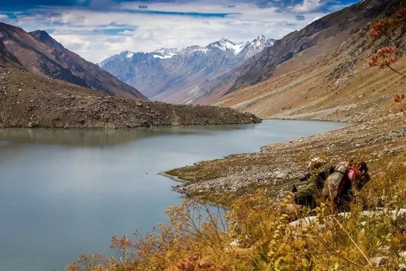
Shovurkul, also called Shabyrkul, occupies an open mountain valley in the far northeast of Tashkent Region. At about 2,754 metres, the lake sits among bare slopes and rocky debris, with snow-streaked mountains beyond. Its pale blue water and angular shoreline give the landscape a very different character from the wooded lakes closer to Charvak.
A natural barrier of fallen rock holds back the water. Stony projections divide the shore, while the valley continues towards a succession of high ridges. The interest here is the high-mountain setting: the contrast between still water, loose rock and the distant skyline makes the lake a distinctive landscape-photography subject.
This is a remote mountain destination, not a confirmed drive-up stop. Before planning a visit, confirm border and park permissions, an appropriate local guide and the permitted approach. Shore access, parking and overnight stays are unverified; a distant view does not imply permission to descend to the water.
Map preview
Coordinates and nearby route context
Travel map
Routes and useful places
Use search, trust status and layer toggles to plan the next stop.
visible in current filters
Camera sources: kg.camera (ElCat LLC) and youwebcams.org. Broadcasts and weather readings depend on the provider. kg.camera / youwebcams.org
Nearby results
Nearby results
Run a nearby search from your live position or the current map center.
Nearby
Nearby useful stops
Browser location is requested only after you click the location button.