 VanLife.uz
Air temperature
Loading weather
Overview
What this stop is good for
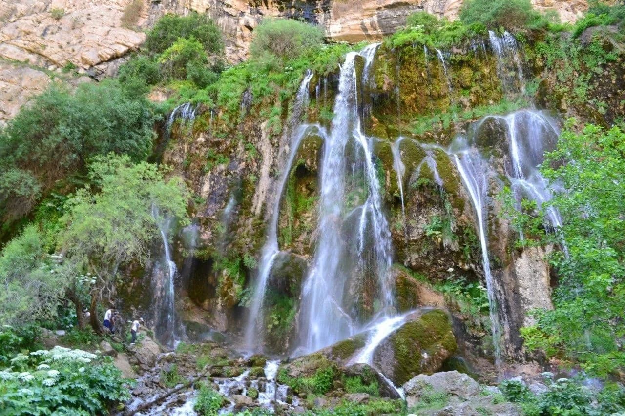
Sangardak Waterfall lies in the Sariosiyo district of Surkhandarya. Instead of one narrow ribbon of water, it spreads into many streams across a broad rock face. Vegetation on the wet cliff adds a strong green backdrop to the cascade.
The appeal is in the layered surface: water threads between plants and rock ledges, separating and joining as it descends. Looking across the full width of the cliff reveals this pattern better than concentrating on a single stream. The tourism description associates the water with underground karst flow, rather than treating it simply as a river dropping over an edge.
Water volume and conditions can change. Check the current approach locally and keep clear of wet rock and falling water; safe bathing and camping are not confirmed.
Map preview
Coordinates and nearby route context
Travel map
Routes and useful places
Use search, trust status and layer toggles to plan the next stop.
visible in current filters
Camera sources: kg.camera (ElCat LLC) and youwebcams.org. Broadcasts and weather readings depend on the provider. kg.camera / youwebcams.org
Nearby results
Nearby results
Run a nearby search from your live position or the current map center.
Nearby
Nearby useful stops
Browser location is requested only after you click the location button.