 VanLife.uz
Air temperature
Loading weather
Overview
What this stop is good for
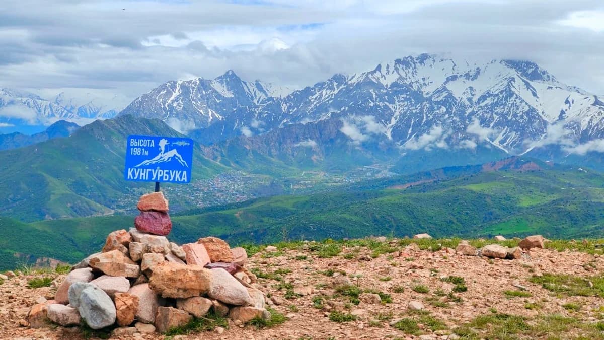
Kungurbuka rises above the Khodjikent area of Bostanlyk District. The source album shows a summit marker, broad green slopes, rocky gullies and a panorama of higher mountains. These photographs document an earlier outing; snow, vegetation and visibility may be different when you visit. The commonly used elevation is around 1,980 m, while the supplied GPX places the summit waypoint at about 1,990 m. These figures should not be treated as a precise survey.
The location pin is the summit waypoint from the source GPX, not the nearby cave. The downloadable location GPX contains one waypoint, not a complete ascent or a road itinerary. The source page also provides a walking track; its recorded line does not establish current access or safe conditions.
Plan the mountain section on foot. Vehicle access to the summit, parking arrangements, drinking water and permission to camp have not been confirmed. Check the approach, forecast and daylight before setting out; carry your own water and an offline navigation backup.
Map preview
Coordinates and nearby route context
Travel map
Routes and useful places
Use search, trust status and layer toggles to plan the next stop.
visible in current filters
Camera sources: kg.camera (ElCat LLC) and youwebcams.org. Broadcasts and weather readings depend on the provider. kg.camera / youwebcams.org
Nearby results
Nearby results
Run a nearby search from your live position or the current map center.
Nearby
Nearby useful stops
Browser location is requested only after you click the location button.