 VanLife.uz
Air temperature
Loading weather
Overview
What this stop is good for
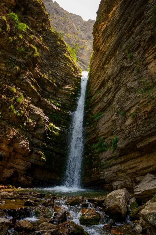
Kulasiya, also written Kulasya or Qulasoy, is a rocky stream gorge in the Burchmulla area. Its appeal is the close canyon scenery and falling water, not a broad roadside panorama.
The marker is the end of the published 2.3 km one-way approach record. It is an orientation point in the gorge, not a surveyed waterfall lip, a car park or a promise that every cascade is reachable. Start access and the return journey must be planned separately; the downloadable location GPX contains only this point. For the continuous line, open the Kulasiya approach route.
Wet rock and confined stream channels can become dangerous when water rises. Do not enter during heavy rain or follow a GPS line across unsafe water or damaged crossings. Use footwear with grip, leave time for returning the same way and turn back before terrain exceeds the group’s ability. Community trip lead: https://t.me/aydar_yurt/3498 .
Map preview
Coordinates and nearby route context
Travel map
Routes and useful places
Use search, trust status and layer toggles to plan the next stop.
visible in current filters
Camera sources: kg.camera (ElCat LLC) and youwebcams.org. Broadcasts and weather readings depend on the provider. kg.camera / youwebcams.org
Nearby results
Nearby results
Run a nearby search from your live position or the current map center.
Nearby
Nearby useful stops
Browser location is requested only after you click the location button.