 VanLife.uz
Air temperature
Loading weather
Overview
What this stop is good for
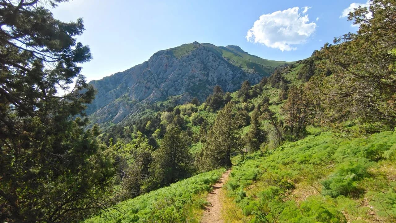
Kapirtash's scenery changes between wooded slopes, open green ridges and a high, broken rock wall. Junipers punctuate the hillsides, while the pale upper cliffs create a strong skyline above them. The landscape is worth noticing throughout the walk, not only at the highest point: trees frame the crags and the valley cuts deeply between the slopes.
The described approach begins at Burchmulla, crosses Tersky Pass and descends into the Kulasa valley before continuing upward. Its destination is the summit, with views toward the Chatkal, Pskem and Ugam ranges. This is a demanding mountain outing involving ascent and descent, not a short extension of a roadside stop. The pass is part of the approach, not a separate attraction in this listing.
Obtain current route and weather advice before departure. Access, water availability and overnight arrangements have not been verified.
Map preview
Coordinates and nearby route context
Travel map
Routes and useful places
Use search, trust status and layer toggles to plan the next stop.
visible in current filters
Camera sources: kg.camera (ElCat LLC) and youwebcams.org. Broadcasts and weather readings depend on the provider. kg.camera / youwebcams.org
Nearby results
Nearby results
Run a nearby search from your live position or the current map center.
Nearby
Nearby useful stops
Browser location is requested only after you click the location button.