 VanLife.uz
Air temperature
Loading weather
Overview
What this stop is good for
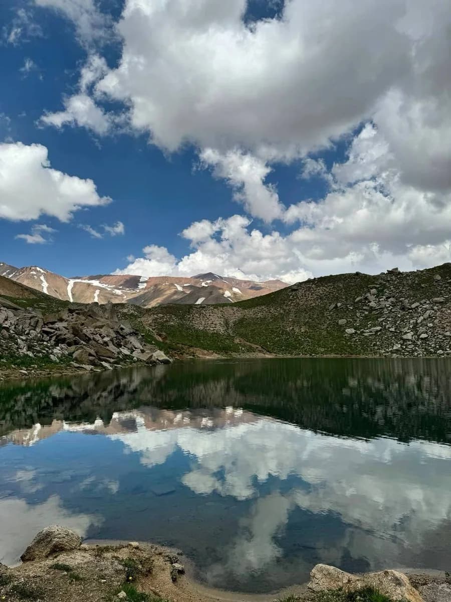
The Arashan lake basin lies in the mountains of Pop District in Namangan Region. Open water, bare slopes and an exposed alpine setting make this a very different stop from the reservoir beaches near Tashkent. It is the Uzbek Arashan lake area, not Altyn Arashan in Kyrgyzstan.
This marker is the Uzunkol waypoint in the source GPX, at 41.363035, 70.518232. The accompanying Arashan lakes and peak hike starts here. Reaching the lake by vehicle is a separate journey that this walking track does not describe. Arrange the final approach independently and check road and access conditions before departure; the marker is not a parking or overnight-permission claim.
Allow for cold, wind and rapidly changing mountain weather. Carry water and supplies; toilets, potable springs, rescue cover and camping permission have not been verified. The location GPX contains a single waypoint. Use the separate route page for the 9.7 km hiking line. Photo and trip lead: Поехали! Узбекистан, https://t.me/aydar_yurt/4422 ; selected lake image: https://t.me/aydar_yurt/4428 .
Map preview
Coordinates and nearby route context
Travel map
Routes and useful places
Use search, trust status and layer toggles to plan the next stop.
visible in current filters
Camera sources: kg.camera (ElCat LLC) and youwebcams.org. Broadcasts and weather readings depend on the provider. kg.camera / youwebcams.org
Nearby results
Nearby results
Run a nearby search from your live position or the current map center.
Nearby
Nearby useful stops
Browser location is requested only after you click the location button.