 VanLife.uz
Air temperature
Loading weather
Overview
What this stop is good for
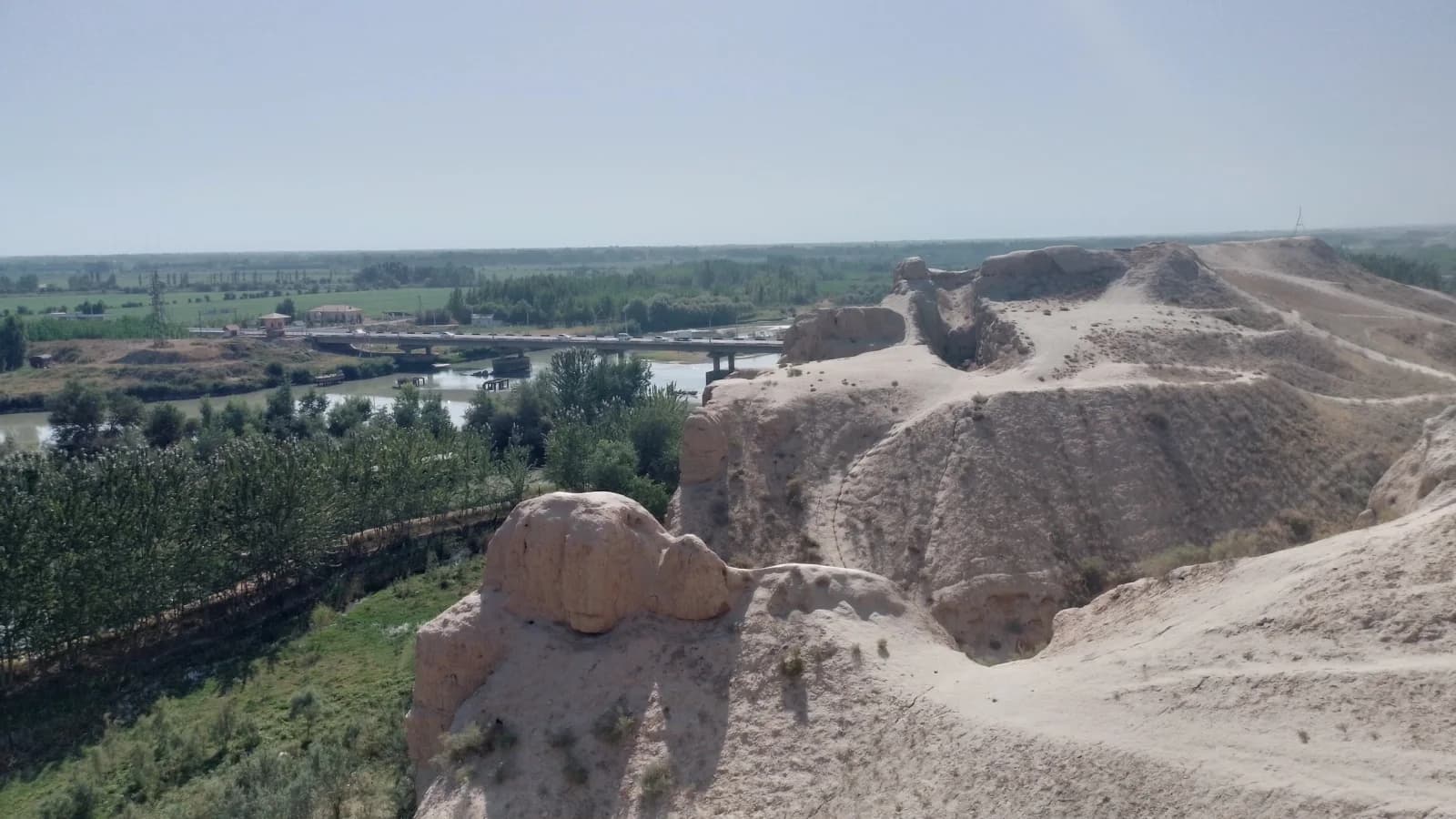
Akhsikent occupies a historic settlement site on the right bank of the Syr Darya in Namangan Region. Once a major centre of the Fergana Valley, it is now best understood through its earthworks and the relationship between the raised settlement and the river plain below.
The broad landscape view shows broken earthen ridges above cultivated land, not a reconstructed city skyline. Look for changes in ground level and the lines of the surviving walls: these give the ruins their scale. The open setting is an important part of the experience, alongside the history of the city's crafts and trade.
Stay within areas permitted for visitors and avoid unstable excavation edges. Confirm the current entrance and visiting arrangements locally.
Map preview
Coordinates and nearby route context
Travel map
Routes and useful places
Use search, trust status and layer toggles to plan the next stop.
visible in current filters
Camera sources: kg.camera (ElCat LLC) and youwebcams.org. Broadcasts and weather readings depend on the provider. kg.camera / youwebcams.org
Nearby results
Nearby results
Run a nearby search from your live position or the current map center.
Nearby
Nearby useful stops
Browser location is requested only after you click the location button.