 VanLife.uz
Air temperature
Loading weather
Overview
What this stop is good for
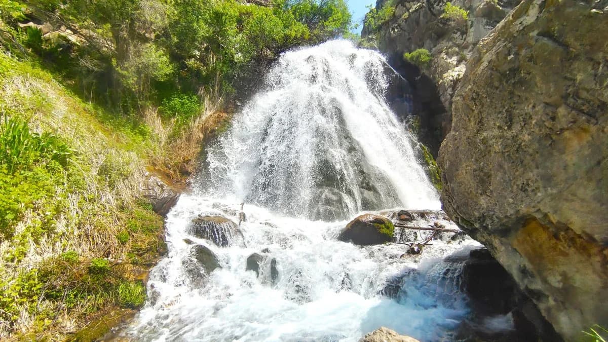
Akhsarsay, also called Mohnaty in local trip descriptions, is a waterfall destination above Nanay. In the selected image the stream divides across uneven rock, with greenery along the banks. Water volume and the appearance of the falls vary; the photograph should not be read as a report of current flow.
The marker follows the waterfall waypoint in the source GPX at 41.690865, 70.189532. This is different from Nanay village and from a place where a car can be left. The linked track is recorded in the downhill direction from the waterfall towards Nanay, about 7.6 km one way. Starting in Nanay and walking uphill reverses that direction and changes the effort.
Do not climb onto wet ledges for a photograph or stand in a channel when rain threatens. Plan enough daylight and supplies for the complete return journey; drinking-water quality, facilities and present access conditions are unverified. The location download has one waypoint; the separate route page contains the continuous original line.
Map preview
Coordinates and nearby route context
Travel map
Routes and useful places
Use search, trust status and layer toggles to plan the next stop.
visible in current filters
Camera sources: kg.camera (ElCat LLC) and youwebcams.org. Broadcasts and weather readings depend on the provider. kg.camera / youwebcams.org
Nearby results
Nearby results
Run a nearby search from your live position or the current map center.
Nearby
Nearby useful stops
Browser location is requested only after you click the location button.